At Easter I am staying in the middle of no where just to the North West of Pumlumon Fawr.
There look to be plenty of BW's on the doorstep, but I do wonder if they actually exists as the area is so remote. Has anyone gone up Pumlumon Fawr from the north side? Is it hike a bike or actually rideable?
We will be staying very close to Nant-y-Moch Reservoir so any tips on rides would be great.
Thanks
<h1 class="DUwDvf fontHeadlineLarge"></h1>
The bridleway in the valley north of there, running north east/south west alongside afon hengwm definitely does not exist. That was a bit of a push. The track through the woods further north is rideable though. Didn't go up pumlumon fawr so can't tell you any more.
If you take the fireroad up towards Llyn Llygad Rheidol, there's a trail of sorts in the Maesnant Cwm; climbing, a fair bit is rideable, though some hike a bike is inevitable; however, you can descend the whole way.
Best bet is a sunrise or sunset ride, ideally on a clear and windless day.
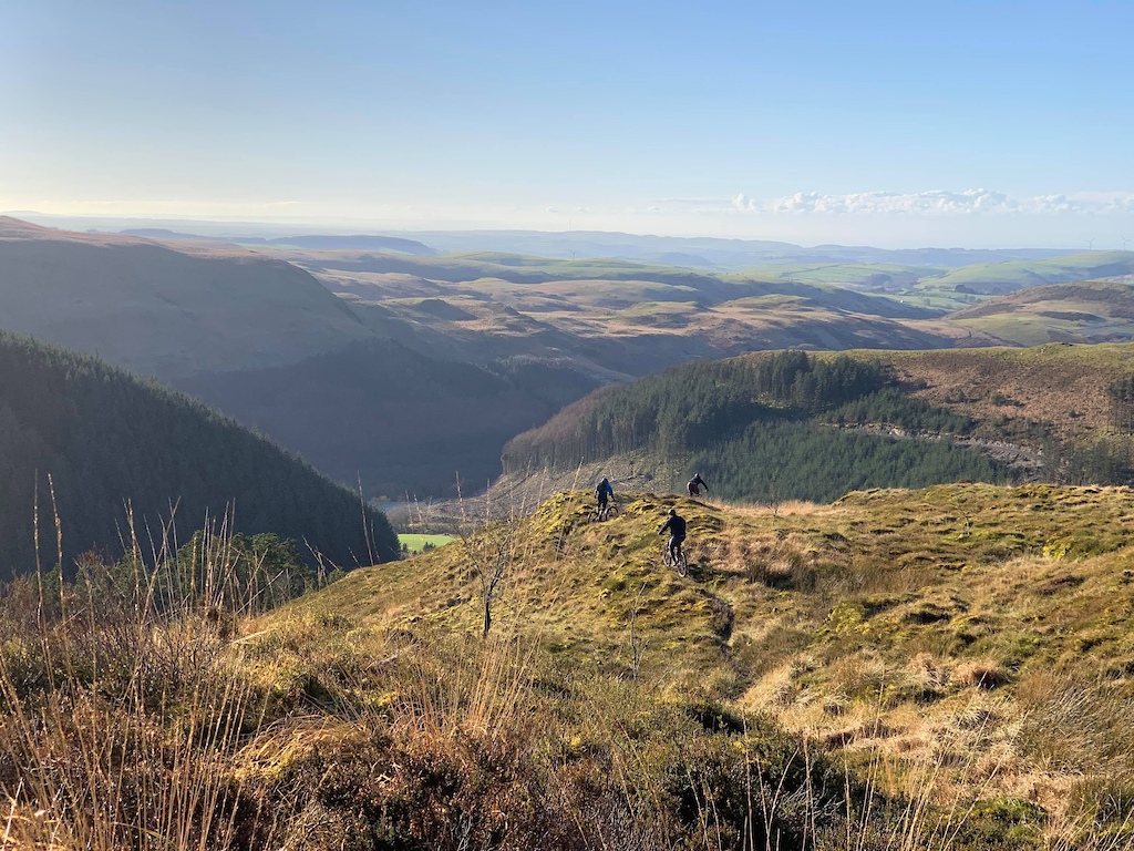
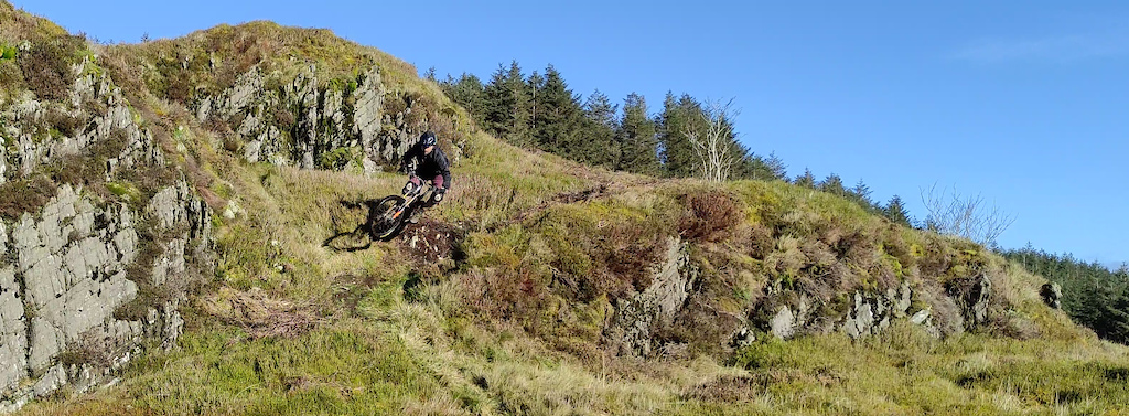
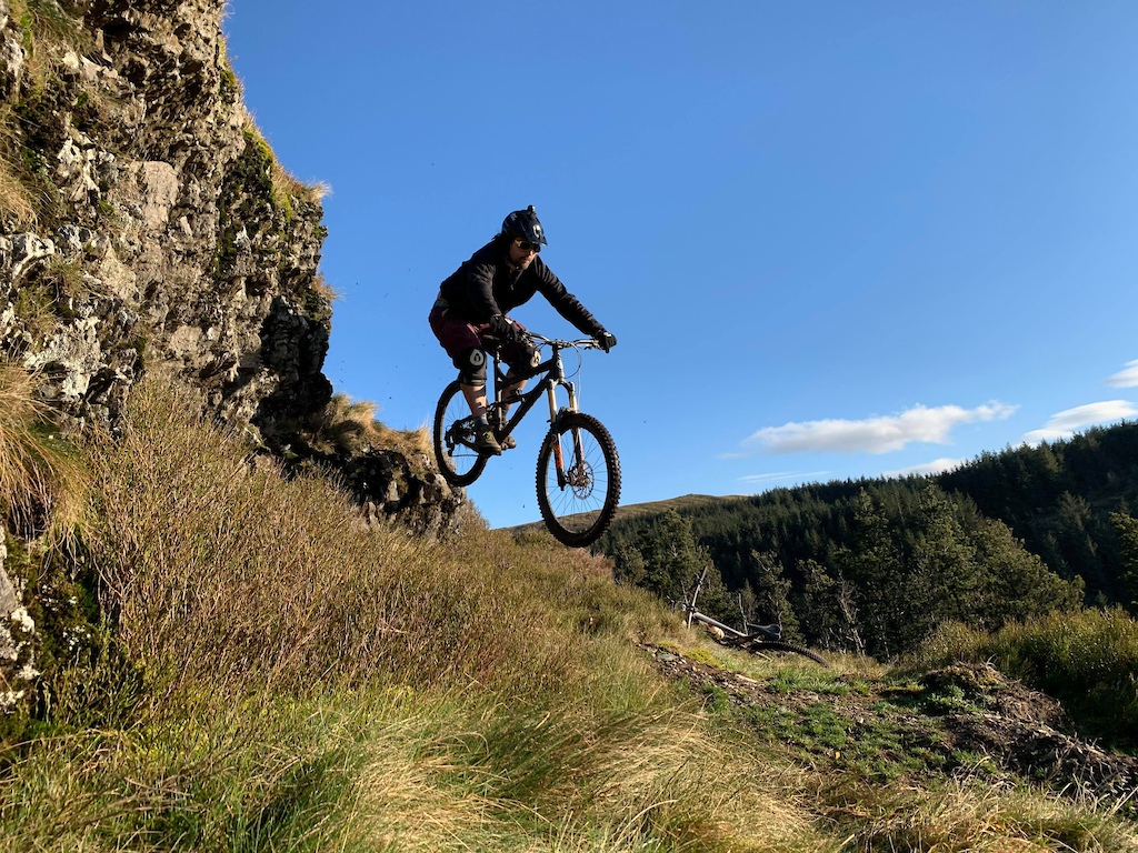
There's also a wealth of sweet hand cut trails scouted by yours truly and built with the help of mates in the Nant y Moch metropolitan region, but for reasons unknown have had problems getting them past the Trailforks moderator, which is a shame, as they are a perfect option for incorporating into a big day at Bwlch Nant Yr Arian or Machynlleth
Easier access from the forestry to the east, bringing you onto the ridge between the sources of the Severn and Wye (obvious route if you look at 1:25000 maps).
[img]  [/img]
[img]  [/img]
Downhill into the Cwm mentioned above goes, although personally I wouldn't do it unless there's been a decent dry spell.
The double dashed tracks on the slopes lying SE of the summit seem to be for a commercial off-road motoring training outfit, not great riding.
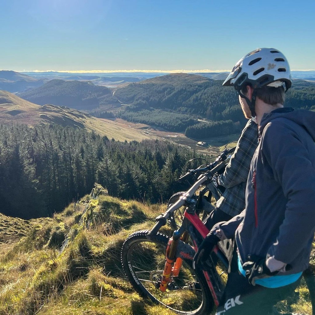
If you have a peek on Strava, most of the sweet stuff can be found to the West and North of the North West tip of Nant y Moch...
https://www.strava.com/heatmap#13.82/-3.86992/52.49120/hot/ride
Cheers all, and Jive some cracking pics. I did already Strava Heatmap but thats helpful thank you
We are staying at Llechwrdd Mawr about as off grid as any where you can get in the UK ! So all my riding will be from there
There's the Mach 4 XC loop, which passes by a bit further north then goes into Machynlleth and back out (normal S/F is in Machynlleth). From Llechwedd Mawr, you could ride North, up the track at GR 762 889 to meet it 1/2way round.
https://www.mtb-rider.net/mtb-route/mach-4/
I used to live and work in that area and can remember when Llechedd Mawr was abandoned, open to the elements and knee deep in sheep's droppings. I hope it's been given a thoroughly good clean.
Actually, I know that it has and is now a stunningly beautiful amazing place to stay. I'm just a bit jealous!
I second all the comments above, especially with regard to Hengwm. Avoid at all costs.
Always wondered what was going on with Llechwedd Mawr these days; can see it from the top of the hill where the last pic in my post was taken... infact, it's just beyond what is shown in the top right of this pic:

Anyhoo, bit early to know yet, but if you're lucky, and have a taste for spicy enduro trails I (or one of my mates) may be able to show you around a bit; failing that, if you drop me a pm, I can give you a few Strava Profiles to follow that should help you navigate the rideable bridleways
