![]() You don't need to be an 'investor' to invest in Singletrack: 6 days left: 95% of target - Find out more
You don't need to be an 'investor' to invest in Singletrack: 6 days left: 95% of target - Find out more
Planning a weekend bike packing in the New Forest, a social ride with some friends who are either new to riding or new to bike packing.
Planning a route using OS mapping and Komoot. Found a couple of notes on what appear to be paths (not footpaths or bridleways) saying 'don't go here, private land' or words to that effect.
So when planning routes across the New Forest, is there anything to bear in mind? or find out which routes are no goes? I have used a large amount of the cyclepaths for the route but not for all of it.
It's been a few years now but when I used to ride in that area I thought it was one of the areas in the UK where you were most likely to get grief for deviating from agreed rights of way. It's the spiritual home of the NIMBY anti cycling brigade.
Maybe someone else local can give up to date advice but I'd say if it's not one of the designated routes or a RoW on map then avoid, especially with new folk you presumably don't want put off.
Yeah you do need to be a little bit careful tbh. A lot of the forest paths are open access but with cycling restrictions, but I’ve not in my whole life given much dues to that because it’s nonsense. However it easy to stumble down someone’s driveway etc onto genuinely private land and that’s more of an issue.
I’d recommend cross checking your route with Strava heat maps or if you send me a link I’ll take a look for you. Bear in mind as well that some parts of the forest are saturated at the moment, as they are ever winter, but this year is as bad as I can remember.
Bear in mind as well that some parts of the forest are saturated at the moment, as they are ever winter, but this year is as bad as I can remember.
Wise advice. It is one thing having a run in with one of the local commoners (not being disrespectful, that's their name) about if you do or don't have right to be there when 'I'm doing no harm' is patently true but another entirely when you are stood in a 6 inch furrow of your own making which is perfectly possible at the moment.
Cheers guys. It wouldn't be for another few months so hopefully avoiding the wettest weather!
Have found a Cycle routes map that I have printed, so will double check my route with that along with your suggestion for Strava heat maps.
The only definites are the gravel fire roads. They all have a route number with bike pictured on them Pretty much all single track and any other routes not sign posted are out of bounds, some even have a no cycling sign.
However, I have completely ignored that for 20 years and even at times ridden right by a forester sat in their truck who have never said a word. May get a different reaction if in a group though?
It is also not wet at all where I live (Burley) on the gravel 'legal' roads as they drain very well. The areas you shouldn't ride on are however covered in small lakes!
What they say basically. I've been riding off road here for over 30 years, the official stuff is a good way to get to some nice spots. Ideal for getting around for bikepacking but not very technical of exciting.
Theres some nice cheeky stuff, but also a few spots to avoid due to belligerent locals (having said that, in all that time I've only had a very few run-ins).
If you are wild camping do be very discreet, head deep into the enclosures as it's very much frowned upon. Also you'll avoid the early morning dog walkers. Again I'd been doing this for years no issue if you're sensible.
Generally the far north and south bits of the forest are more 'local ' particularly the north as lots of riding stables. Keep central and you'll be ok.
Again I'm glad to help with routes if you want hints 😁
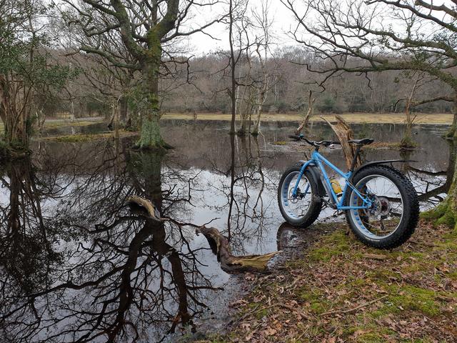
And most of it looks like this currently 😥
more ‘local ‘ particularly the north
Oi - I resent that ! <tries to make fist with 7 webbed fingers>
Sure there must be loads of threads on here on this subject?
No wild camping for us. Was going to spend the night at Ocknell campsite.
Routes are here, day 1 and 2. Tried to tie it in with some historical sites of interest.
https://www.komoot.com/tour/107694737?ref=wtd
https://www.komoot.com/tour/108156442?ref=wtd
As above, there aren't that many decent legal routes. And it's pretty boggy in a lot of places. Am happy to ride cheeky myself, but given the unwelcoming attitude and restrictions, almost never ride in the forest despite living within 10 miles since 2002. In your position, I'd be considering an alternative somewhere around Cranborne Chase, where you could link up a better mix of singletrack, gravel, decent pubs and a castle with a bike park option or two 🙂 Happy to guide on the northern part if I'm about.
The new forest is gravel bike territory rather than trail bike heaven. Plenty of options for longish haul routes joined up with a bit of minor road and there are good routes west, to the iow and east for a longer bikepack.
There are also loads of camping options in the forest and the camping in the forest sites will do a cheap backpacker rate if you turn up on a bike/ on foot.
I am fairly local & use this map a lot... helped so much more than an OS one.
Hope it helps
Sure there must be loads of threads on here on this subject?
There have been plenty. I’ve posted 8 of my old training routes on one of the bigger threads.