![]() You don't need to be an 'investor' to invest in Singletrack: 6 days left: 95% of target - Find out more
You don't need to be an 'investor' to invest in Singletrack: 6 days left: 95% of target - Find out more
Hello,
Im after a computer bar mounted to load gpx files to and general navigating. I’ve fat fingers so tiny buttons are out. Colour screen, good battery life/options will be used for up to week trips. Garmin type thing or other brands. Easy to use as not very tech savvy. And yes I can read and use maps this is to help keep the flow of a ride going. Any recommendations please! Budget up to about £300. Would also like it to have maps already loaded for UK and Europe. Thanks
I've got a Wahoo Elemnt, I think it's great. Black and white screen, but that's never been an issue.
Phone + case
Only costs £20 for a waterproof case, or another £70 for a cheap android phone from china if you worry about your expensive phone getting damaged.
Huge number of mapping app options form OS, OSM, Google, bing, mammyride, kommute, memorymap, etc.
No faffing with having to sync strava, geotag photos, etc at the end of the day.
Battery life can be poor, but unless you're going without a phone then you just charge it every night like normal (and maybe take a decent sized cache battery to keep it topped up during the day.
I spent £300 on a garmin edge years ago, and almost instantly regretted it, It's basically the same cost as a really good mid range phone, with about 5% of the functionality.
Another vote for the elemnt here, yes it is black and white but perfectly usable in bright sunlight (for that week in summer) and the rest of the time too.
Looked at all options when I bought and the value for money on Garmin I found challenging, real life battery life a scary thing and colour screen was a distraction. The elemnt has indicator lights (yes really!) and these are way more useful than the map when you ride.
James
Edge Touring ("plus" version if you want a bigger screen).
UK/EU maps loaded, easy to use. Battery life OK, will last 10 hours at least with screen on and navigating.
Wahoo Element
Wahoo bolt.
its really opened up my cycling in the two years I’ve been in Switzerland.
Prior to this is used my phone but it was useless on longer rides and used to over heat in the summer and switch off.
my only complaint about the wahoo is the sometimes stupid route choices.
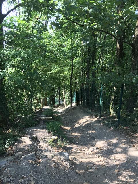
a few times I’ve been out on the road bike and it’s lead me to a track a mountain goat would shy away from.
It considers this a road. ( far steeper than it looks in the pic )
Garmin Oregon
Edge Touring has colour maps and is OK but still a bit of a usability nightmare.
New Edge Explore looks like an upgrade to it - bigger, better, higher res screen. Bez (of this parish) first impressions were good (he dumped his Wahoo very quickly for various reasons. He generally navigates on road. Off road I cant see how the Wahoo would be any use at all. The colour maps on the Edge Touring give you a good idea of, say, whether a track goes round or through a wood. You just cant get that detail on a B&W display).
https://www.dcrainmaker.com/2018/07/garmin-edge-explore-review.html
New Lezyne Super GPS thing...
The Element is ok off-road, bridleways and footpaths are marked and you always have the breadcrumb trail to use if you're following a route, not much cop if you're just following your nose though.
Routes made with ridewithgps give out cues on the road and are fantastic. You also get the entire world maps included and installed (Russia and China need to be added manually though).
As above though, the routes that the app generates are a bit risky as they seem to use any legal path. So you'll buzz along tarmac nicely before being routed down a nightmare quagmire bridleway.
With the routes being dodgy after a lot of digging I found it is errors in the underlying mapping that they use, the open street map stuff, where some of the footpaths, bridleways and more are mislabelled and hence they appear in routes :/
Will trying to work out how to amend them somehow so it makes it better for me locally and everyone else too.
Mapping is critical to this and in hindsight I should have spent more time looking past the device itself to look at the route planning and mapping software. Having said that happy with my Elemnt and never regretted the decision, Komoot as a route planner is OK too.
James
Really can't see the point of these garmin thingys.... Cheapo phone does the job & more. Heaps of free or cheap gps colour mapping apps out there.
phone + bike mount + komoot app.
i have used this all year and find it simple to use and very accurate. i plotted an off road route around slovenia. a country i knew nothing about and the app took a bunch of us through vineyards, fields, forest tracks etc. a really brilliant holiday thanks mainly to this app ! the app was free and access to maps of most countries of the world costs less than 30 quid
Thanks all.