Is it bikes or biscuits that hold this band of bikepackers together as they trial a new Northumberland route, the Slymefoot Slide?
Words Rick Hamilton Photography Pete Scullion
Who the heck is Rick Hamilton?
Based in Mytholmroyd, Calderdale, Rick is known locally for his poor bike maintenance and lack of materialism when it comes to riding bikes. If his wheels are turning and his friends are nearby, he’s happy. Other interests include poetry, history and baking.
Latest Singletrack Merch


Buying and wearing our sustainable merch is another great way to support Singletrack
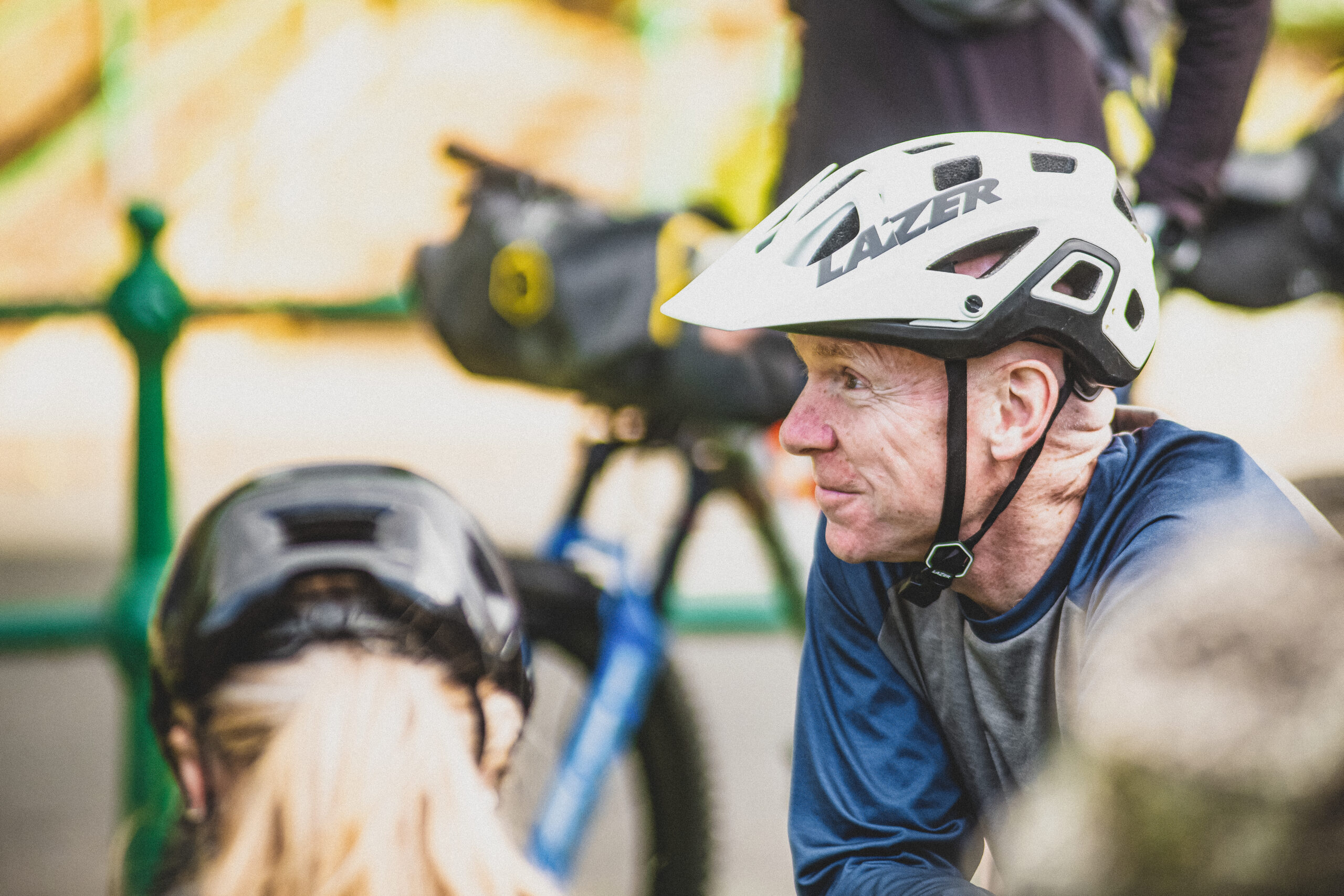
“Am I bleeding from my nose?”
Tommy, who usually exudes calm, assured confidence, is looking understandably shaken. A hidden rut on a fast descent has grabbed his front wheel and flung him to the ground, landing some distance from his bike. It is quite the wipe-out. But he isn’t bleeding from his nose. He is bleeding from his head.
Silver packages
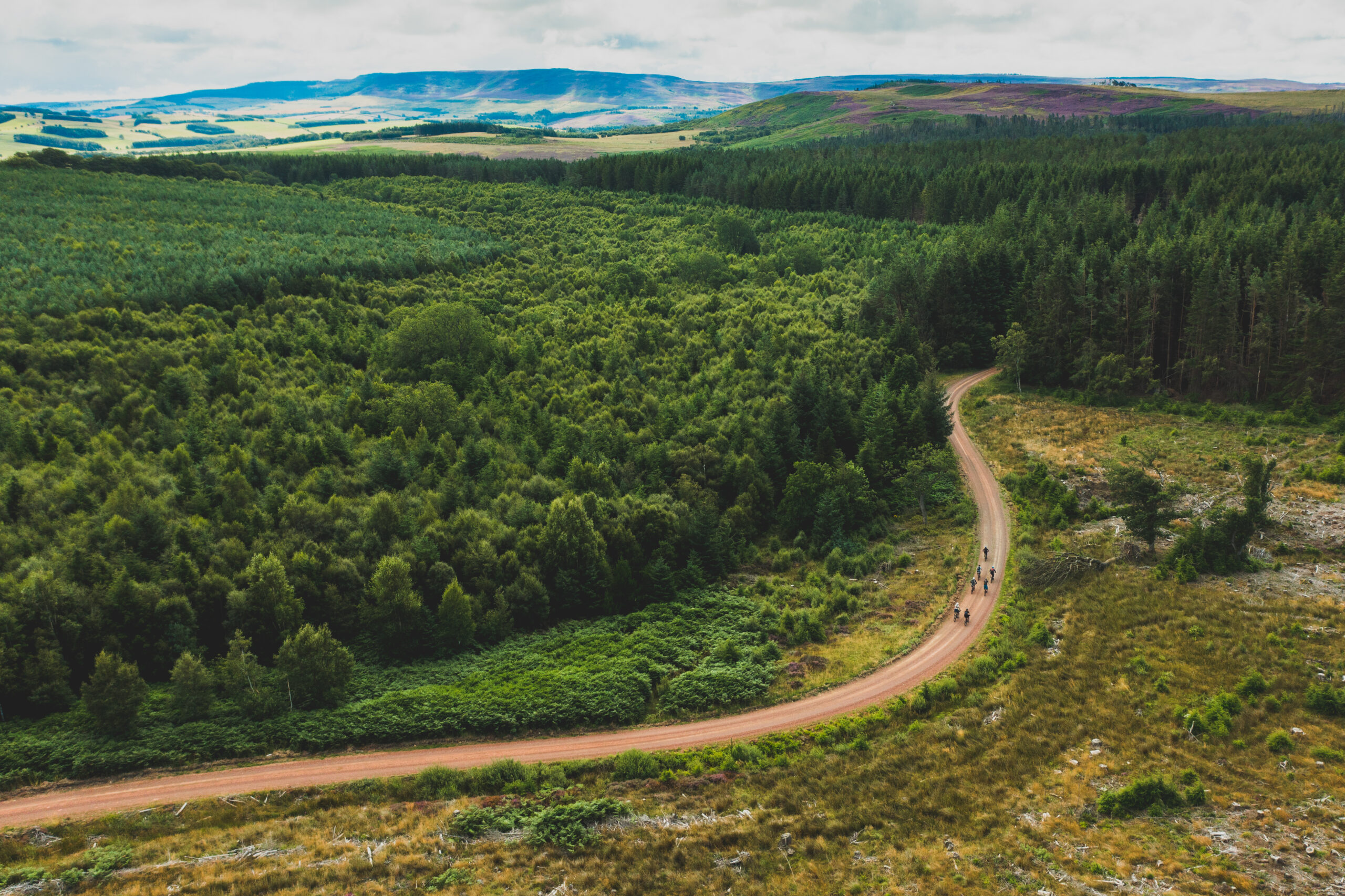
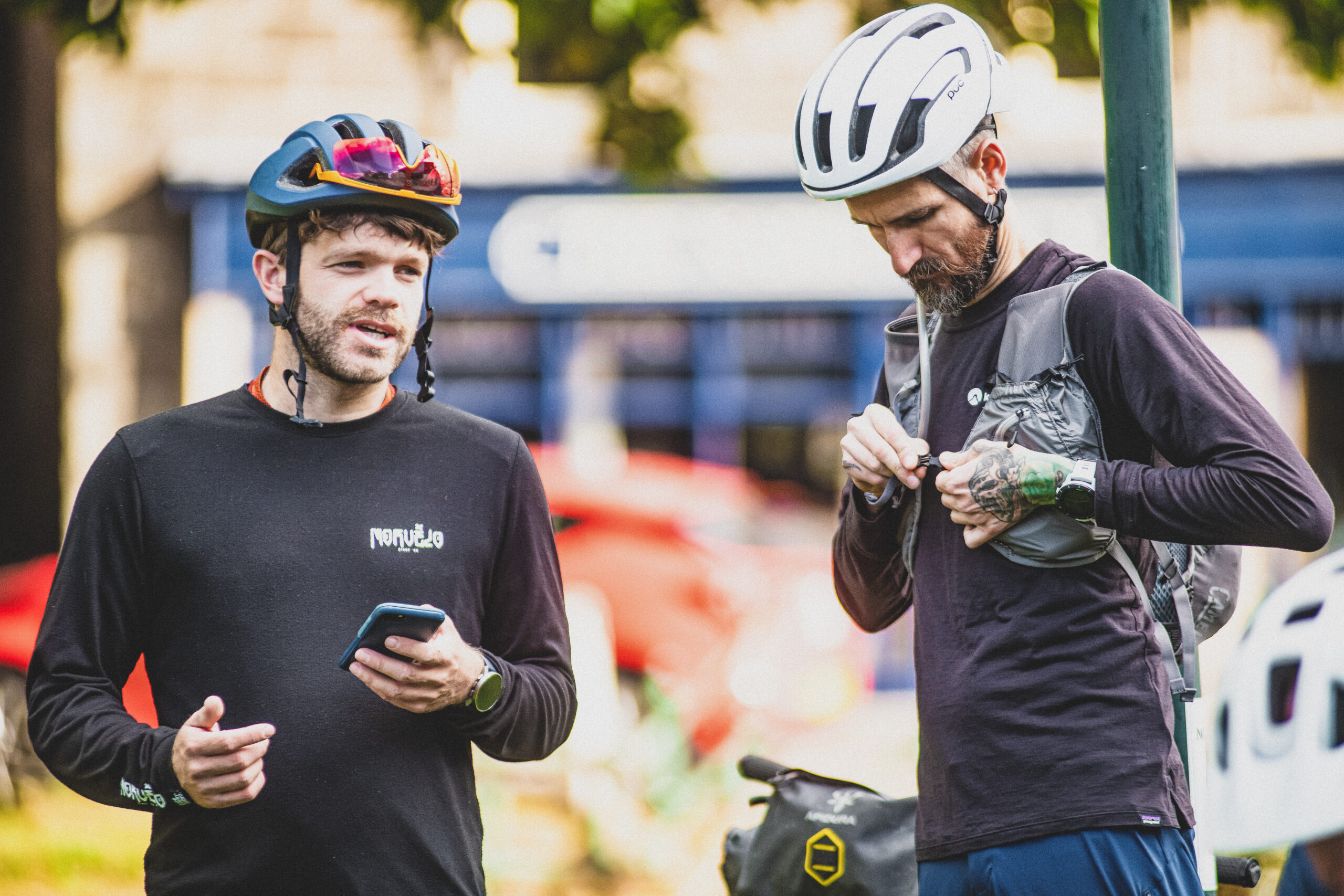
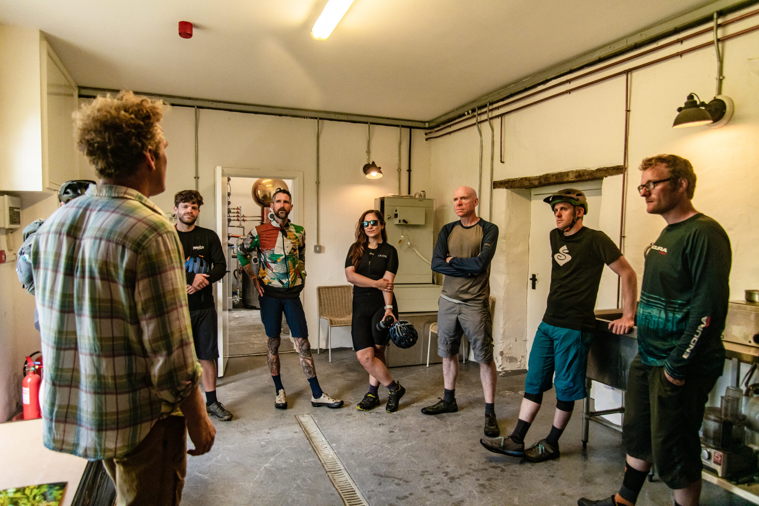
We are on the first day of a two-day, 120km bikepacking tour around the northern reaches of Northumberland. It’s a new route, devised by Tommy for komoot, with 2,600 metres of climbing, and I’ve joined a group of seven other riders, none of whom I have met before, to test it out.

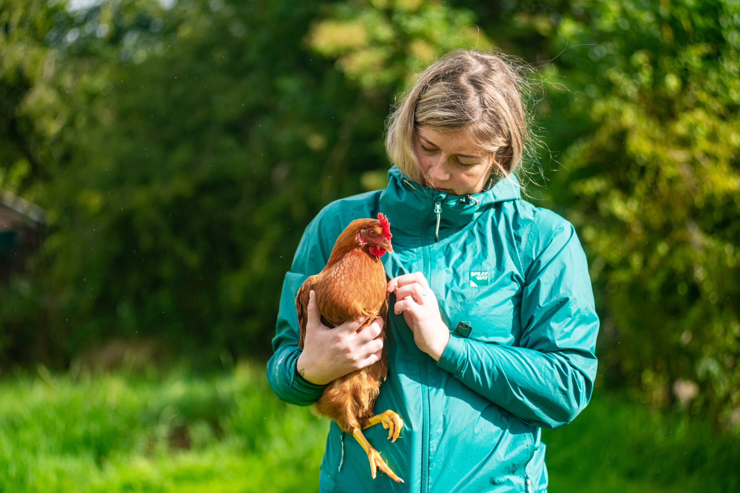
We meet in the early morning, and everyone is busy with the usual last-minute preparations. Bags are packed, straps are tightened, tyre pressures checked. I view my new companions warily. All of them look dishearteningly fit. As is usually the case when cyclists gather, the conversation is about recent adventures. Chris has undertaken a 900km audax in Normandy, which he completed in just three days. Mark is a professional mountain biking guide who has coached world cup competitors. Amy, a freelance journalist, competes in cyclocross events and has just returned from covering the Tour de France Femmes. And so on.
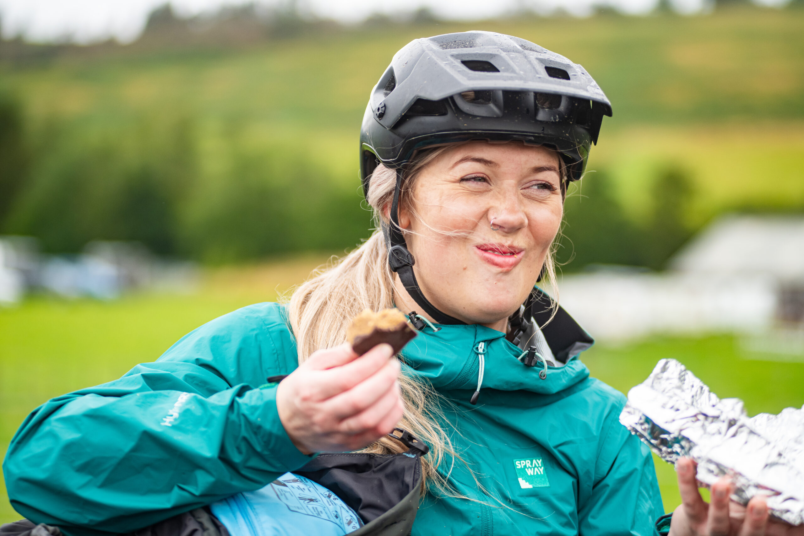
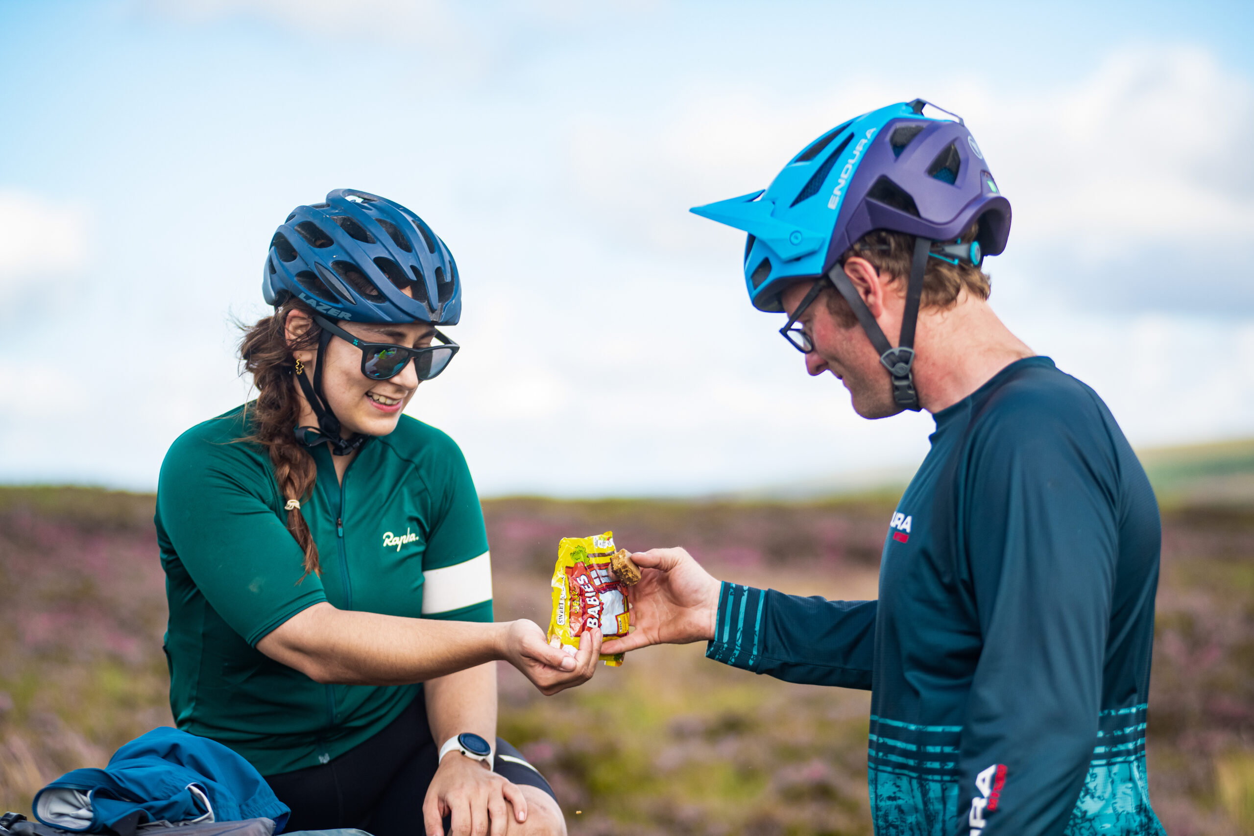
I am clearly outclassed in both fitness and experience. But I had anticipated this and so, to compensate, and in a pathetic attempt to ingratiate myself with my new friends, I have brought some of my homemade peanut butter squares. I hand a small package to everyone. They accept my offering with an air of bemused politeness, and we head off.
Fake your enthusiasm
We start from Rothbury, a small town about ten miles southwest of Alnwick. It’s almost impossibly quaint – the distilled essence of an English rural town. At its heart a 13th century church fronts onto a town green with a war memorial, from which a jumble of sturdy, but ancient, stone houses, shops and pubs radiate. It’s the kind of place that’s used as a film location by every British rom-com aimed at the American market. Despite its genteel appearance, though, it’s surprisingly lively on a Tuesday evening, judging by the noises made by the town’s enthusiastic drunks outside my hotel window while I’m trying to get to sleep.
We ride up a side street past well-maintained gardens, which becomes a track and then a path that climbs up to a viewpoint above the town. The moorland we traverse still retains evidence of trenches that were dug over a hundred years ago by soldiers who were being trained in the art of trench warfare. This reminder of past savagery is, as we will see later in the ride, something of a theme for the route.
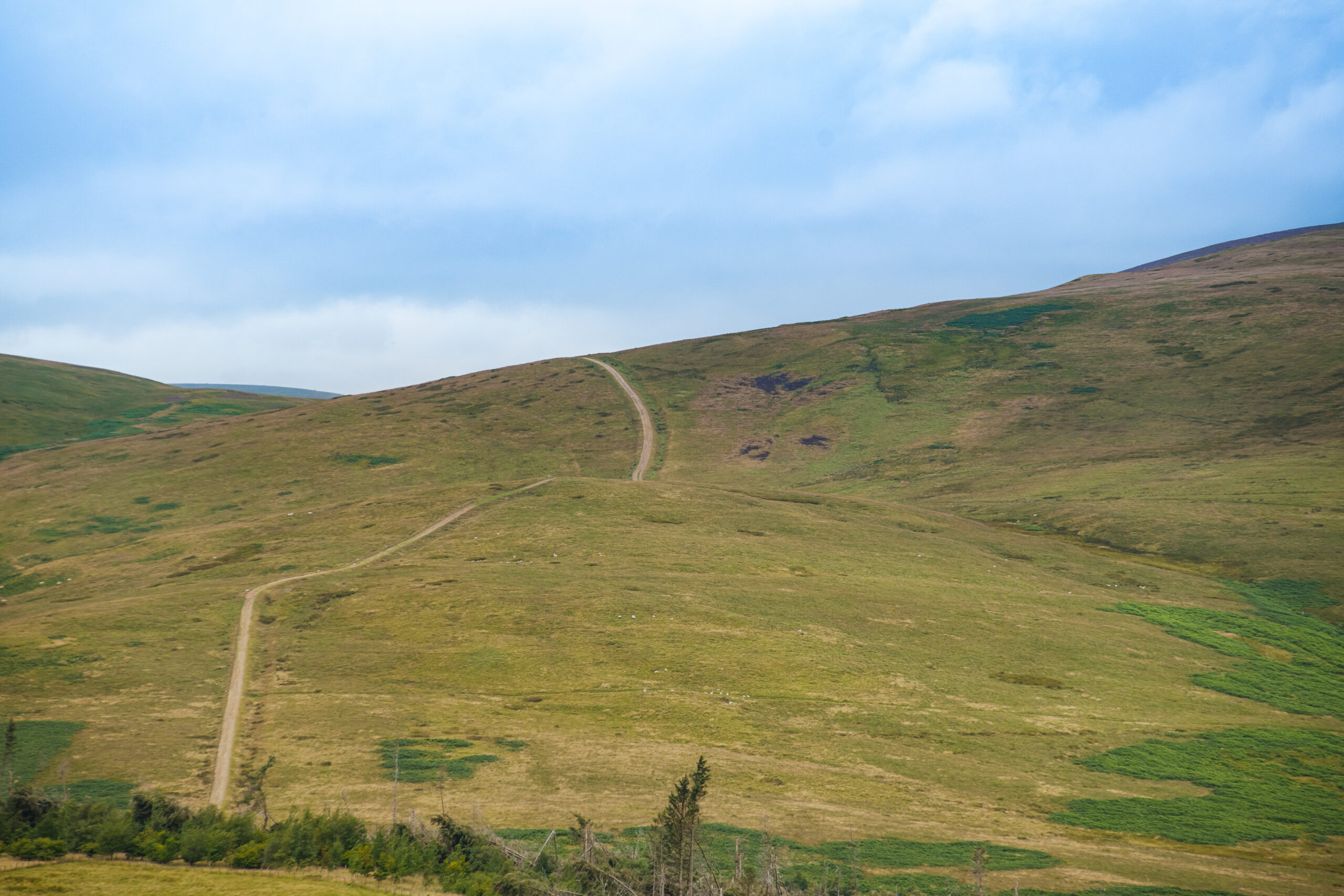
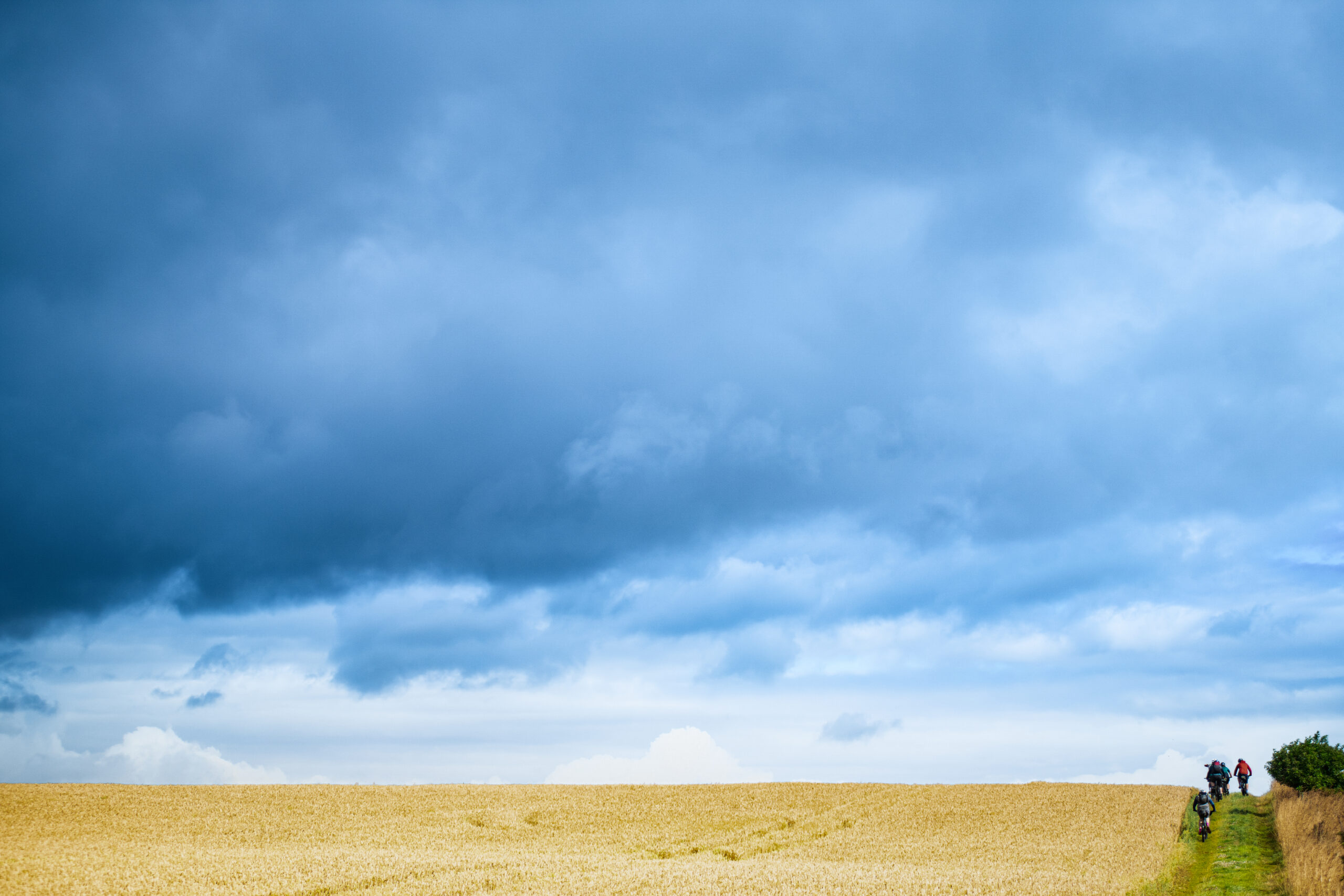
A short, gravelly descent takes us back to the valley, and we ride along a mix of tracks bordering fields of wheat with a few brief road sections. The roads are quiet, and the only traffic is an occasional farm vehicle and the darting, panicked exuberance of a few white-tailed lagomorphs we inadvertently flush from the roadside verges.
”This looks like a good spot for a rest”, says Kell from komoot, brightly, after around 15 miles.
And I for one am looking forward to trying one of Rick’s peanut butter squares!
She uses precisely the tone parents use when their seven-year-old has brought something unidentifiable back from school that they have created in cookery class. I pretend not to notice. But then, the salty, sugary, chocolatey denseness overwhelms her, and I enjoy basking in the admiration of the group. It is the first and the last time that I will experience this sensation…
Arwen nearly there yet?
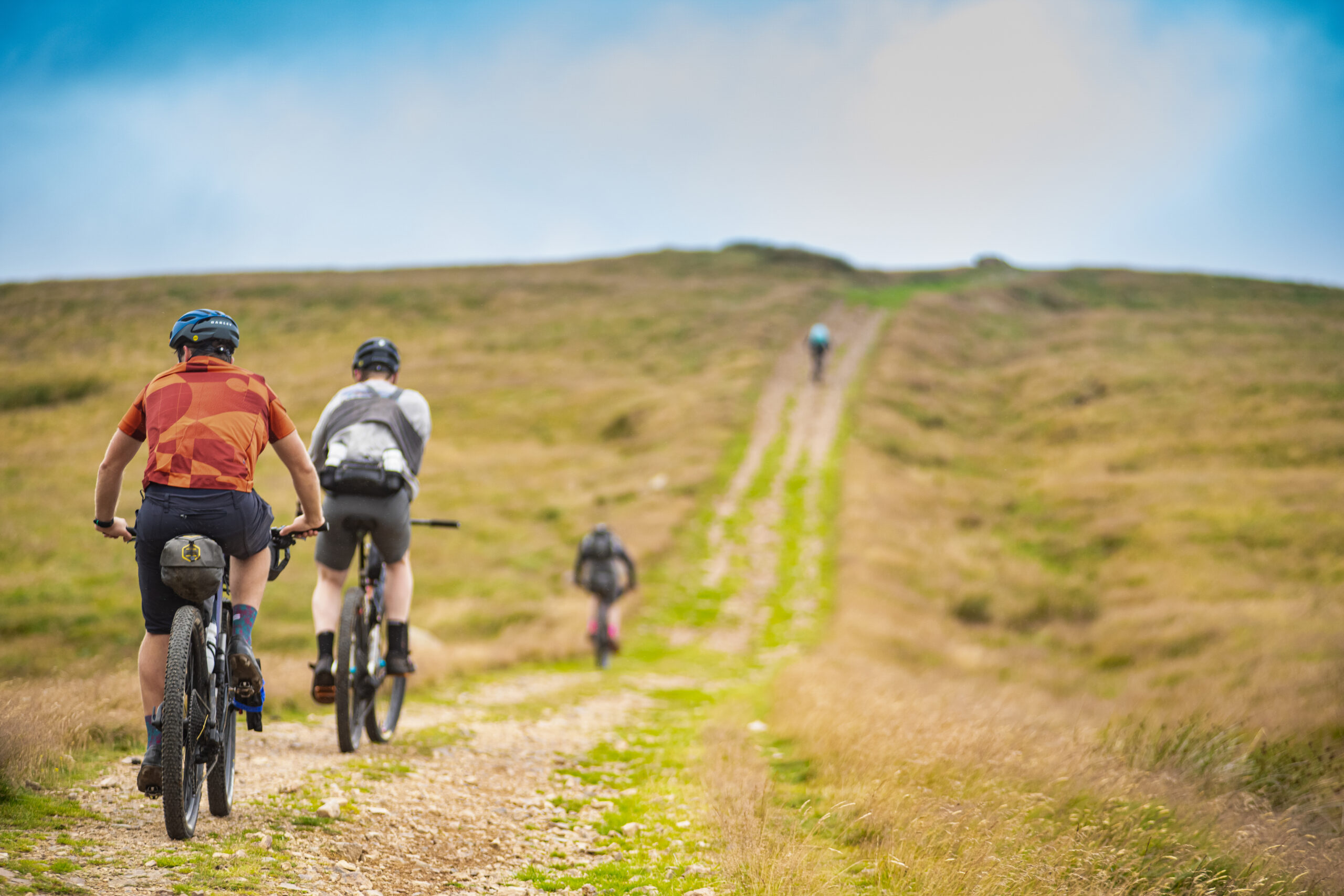
Because soon we reach the first of the bigger climbs and I struggle up the hill in the wake of the rest of the group. The track is wide, but covered in fist-sized rocks and gravel, and the savage sidewind combines with the lung-busting gradient to provide a real challenge for the final section. I hang on somehow, and we reach the highest point of the ride so far. It’s mostly downhill from here to our planned lunch stop, so we take a moment to enjoy the view.
Behind us, devastation. We’ve ridden past a plantation of trees, and from our high vantage point, we can see the scale of the destruction wrought by the storms of November 2021. Storm Arwen hit Northumberland especially hard, and the Met Office recorded wind speeds of just under 100mph a few miles to the east of our route. Those winds tore through the woods and forests of the region, and ripped up mature trees with blind ferocity. Not one tree remains standing in the plantation. All that’s left is an untidy pile of grey fallen wood. It’s a sobering sight. But Storm Arwen hasn’t finished with us yet, and will throw down another challenge later in the ride.
Unaware of this, we enjoy the descent to the river below. The grass track carves through the summer bracken and flows fast and smooth for a good couple of kilometres with far-reaching views ahead. It’s exhilarating, and the childlike sensation of riding a magic carpet makes us feel like gods. My deified reverie is interrupted somewhat by a big nugget of sheep poo flying off Chris’s rear wheel and hitting me just above my left eye socket. I don’t take it personally.
A couple of climbs and a few kilometres later, we finally drop down into Ingram, where a café awaits. It’s bike-friendly, and a good place for a mid-ride lunch stop. There are outside toilets and an outside tap to refill water bottles. It’s one of those cafés that are all about the cakes. Toasties, sandwiches, soup and so on are relegated to a curt mention on a blackboard screwed to the wall behind the counter, while the cakes are flaunted lasciviously in a display cabinet between you and the staff.
The cakes aren’t content merely to sit on a shelf in the cabinet. Each cake has its own glass plinth which raises it up closer to your line of sight – the gateaux equivalent of a push-up bra.
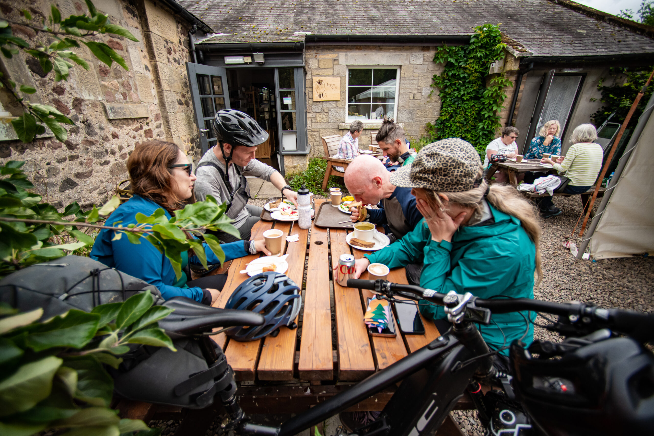
I order a cheese toastie, soup, and a slice of the most attention-seeking, exhibitionist, flamboyant confection that I can spot.
Bloodybig Hill
Fuelled up, water bottles refilled, cake lust satisfied, we head back to the route. We’ve left the flatter arable lands behind, and we’re now riding through border territory where England and Scotland face each other down. For hundreds of years the Scots took a somewhat more assertive approach to annoying the English than merely supporting whichever team England was playing against in the World Cup. The law, such as it was, dared not show its face in these lands, and the place names tell of the violence of the last few centuries.


Murder Cleugh. Thieves Road. Bloodybush Edge. Anyone who took a risk and settled in these parts had to expect unwelcome visitors from time to time and in the absence of the civilising presence of the code of law, unwritten codes became accepted. If someone stole your cattle, you killed them.
The many valleys that cradle the river and its tributaries aren’t high, but they are steep-sided. They’d afford easy hiding places for parties of raiders – reivers, as they were known locally – and any houses in this area were built for defence. Some still remain, with space for cattle at ground level and reinforced defensive living quarters above, to which families would retreat in times of danger.
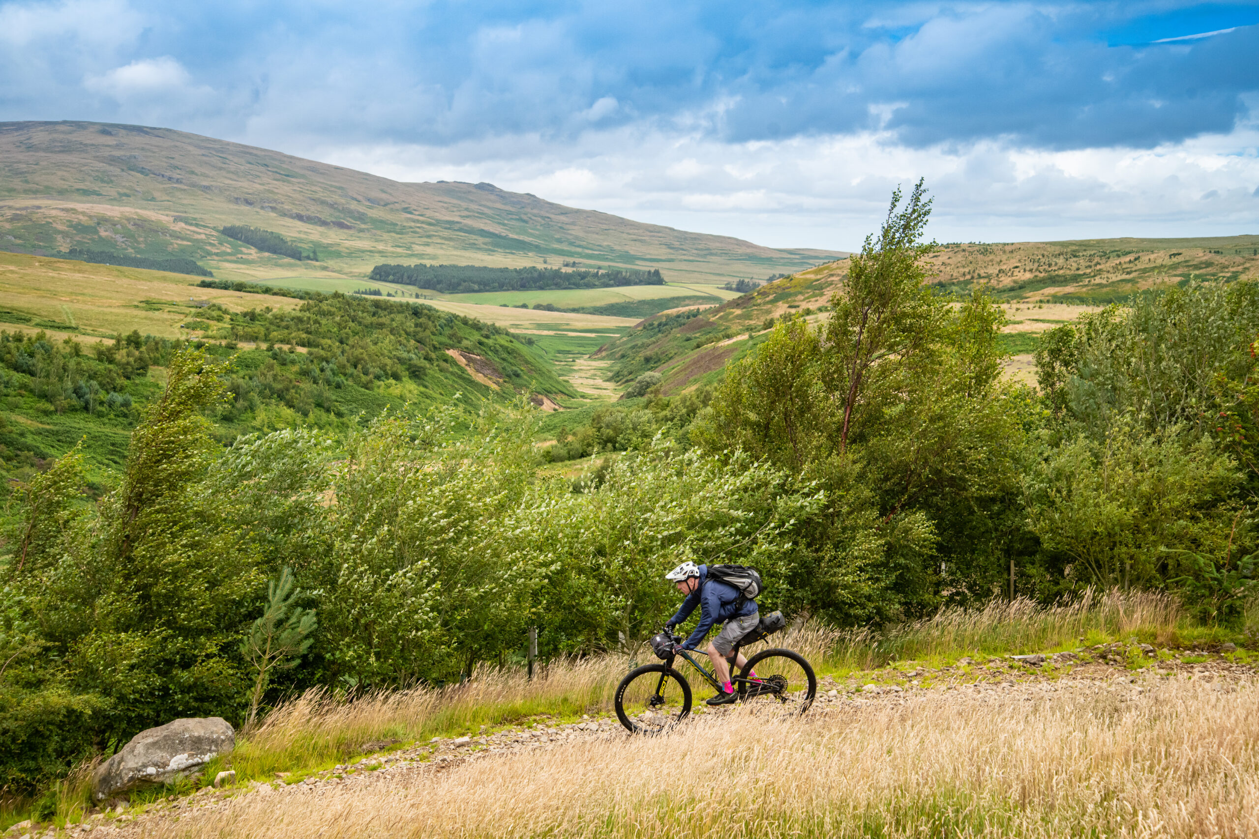
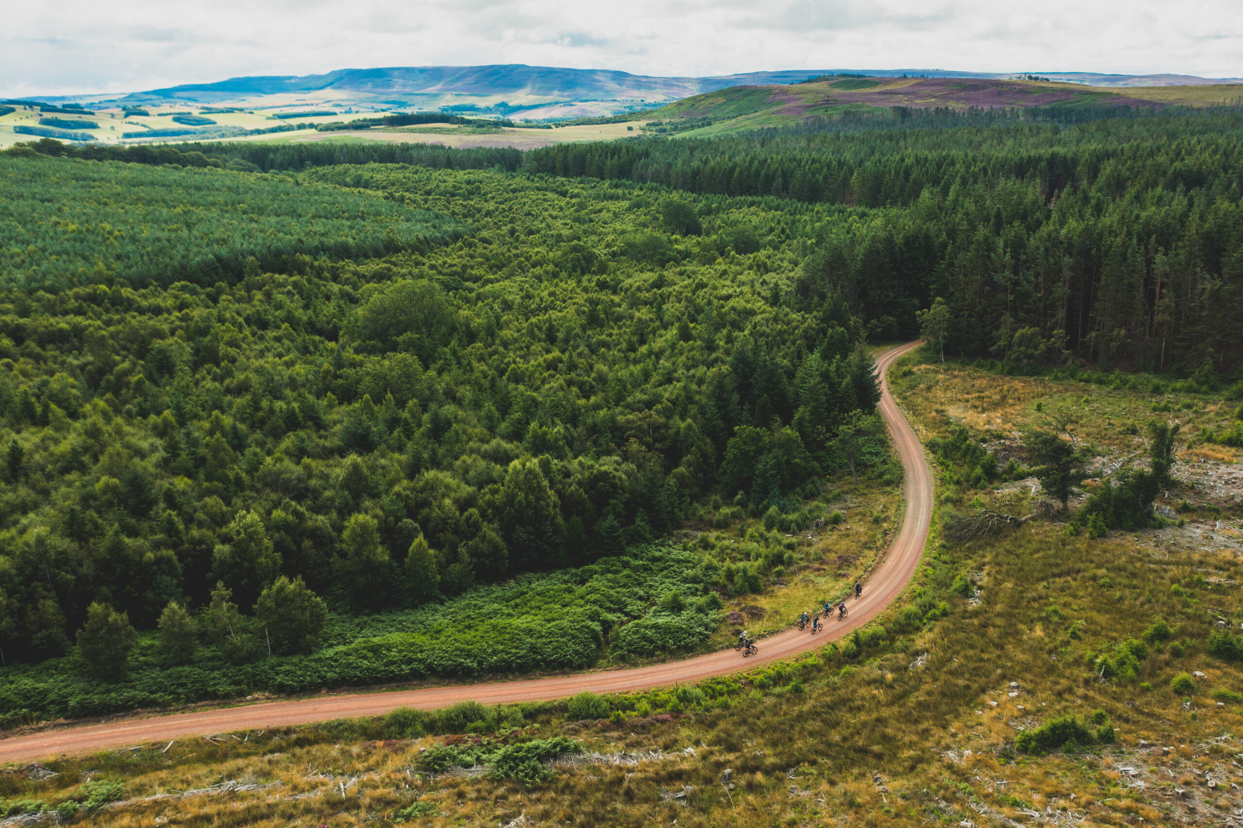
For us, though, the valleys offer interest and an entertaining climb. The 15 miles or so that follow our lunch stop are mostly uphill, and that sidewind that had tested us earlier has become a headwind. There are one or two dig-deep-and-turn-the-cranks moments, but the joy of exploring the valleys and their features overcomes the tired legs. This track, which follows the River Breamish for part of its journey, is Salter’s Road. It’s an 18th century trading route, connected with the salt panning trade along the east coast. We follow it into a forest that clings onto the Cheviot ridge, and once again, we meet with Arwen’s violence.

“We might have to carry the bikes over a few fallen trees”, says Tommy. “There’s been a fair bit of damage in these woods.” He’s not kidding. The forest hasn’t been flattened as badly as the plantation that we saw earlier, but many trees have been toppled. We carry and push the bikes over and around a few trees, but eventually we find a tree whose pillar-box-diameter trunk lies across the track at head height, resting on arm-thick branches that block our progress like the bars of a cage. The ever-resourceful Tommy reaches into his bumbag and with no more drama than if he had pulled out a bike pump, produces a lethal-looking folding saw. It slices through the branches as if they were made of polystyrene, and before long, we’ve got a way through.
Whisky galore
Emerging from the forest, we reach the Scottish border. A stile and a gate cross a wire fence. On one side, England. On the other side, Scotland. We ride up a paved track on the English side to the summit of the appropriately named Windy Gyle, and divert through the fence to the summit cairn, the highest point of the route. It’s called Russell’s Cairn after a Lord Russell, who wandered up there one summer’s day in 1585 and was murdered by the Scots.
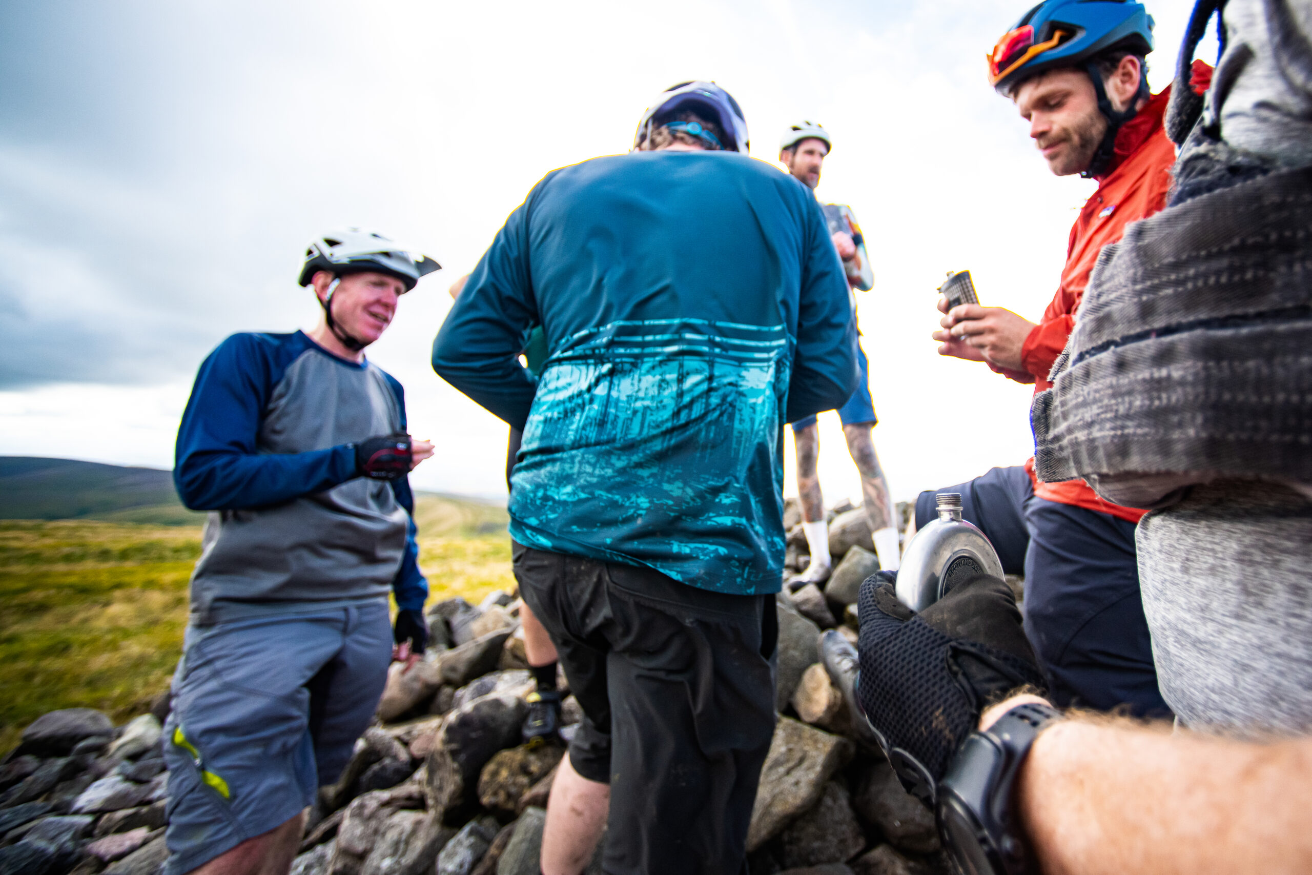
Mark, the only Scot in our party, has no such murderous intent, though, and instead announces that he has brought a hip flask with him and this seems a good place to share it. It turns out that a few of us have had the same idea, and we share drams of Laphroaig (Mark), sloe gin (Tommy), Speyside single malt (me) and Penderyn Welsh whisky (name redacted to avoid him being murdered by angry Scots). It’s a moment to savour. We’re about 40 miles into the ride at this point, and we’ve worked hard to get here. There are a couple of climbs ahead of us, but this feels like the final stretch of the first day. The air is clear, and the endless views display Northumberland’s hills like cakes in a café. See how much more there is to explore, they tempt. Come back to us, they say. I will, I will, I silently promise.
Ahead of us is a blissful 6km of fast, grassy, flowing descent, with no tricky or technical surprises. Apart from one. A few hundred yards below the summit lies a brief line of deep ruts, hidden by the grass. It’s here that Tommy strays into one of the ruts and it snatches his wheel, throwing him to the deck at speed. By the time the rest of us reach him, he’s sitting by his bike with a trickle of blood on his face. He’s hit his head, but thankfully, his helmet has taken the impact. Mark checks him over. He’s got a cut on his forehead where the helmet has dug in, which gives him a Harry Potter-esque scar to remind him of the experience, but otherwise he’s OK. After a brief pause while he regains his legendary composure, we continue to the valley and reach a road.
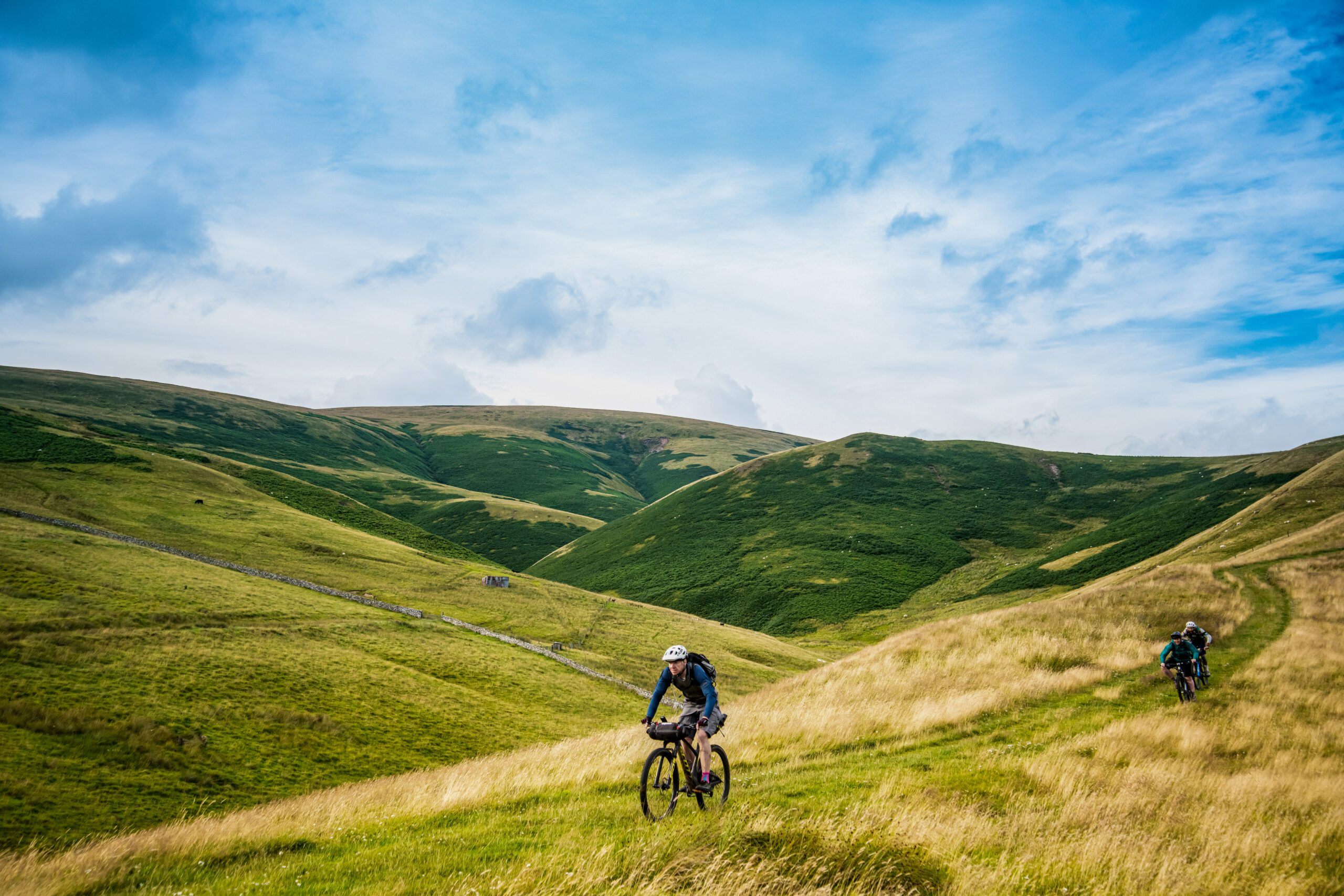
Our destination for the night is a few miles along the road, but there’s more fun to be found. A detour leads to a climb. It’s short, but a challenge to tired legs. It leads to a five-mile section of singletrack that hugs a stream in another of the hidden valleys that are a speciality of this area. The singletrack is worth the climb. It’s always worth the climb. Riding in August, the bracken is shoulder-high, and it playfully snatches at our handlebars as we descend back to the road.
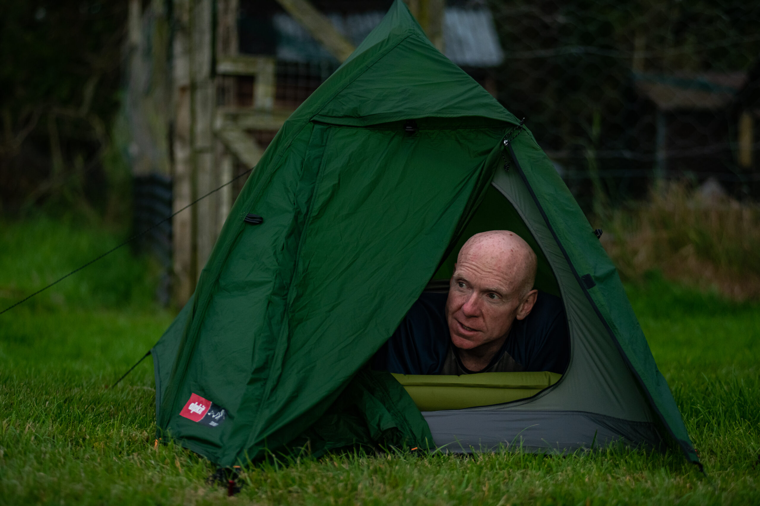
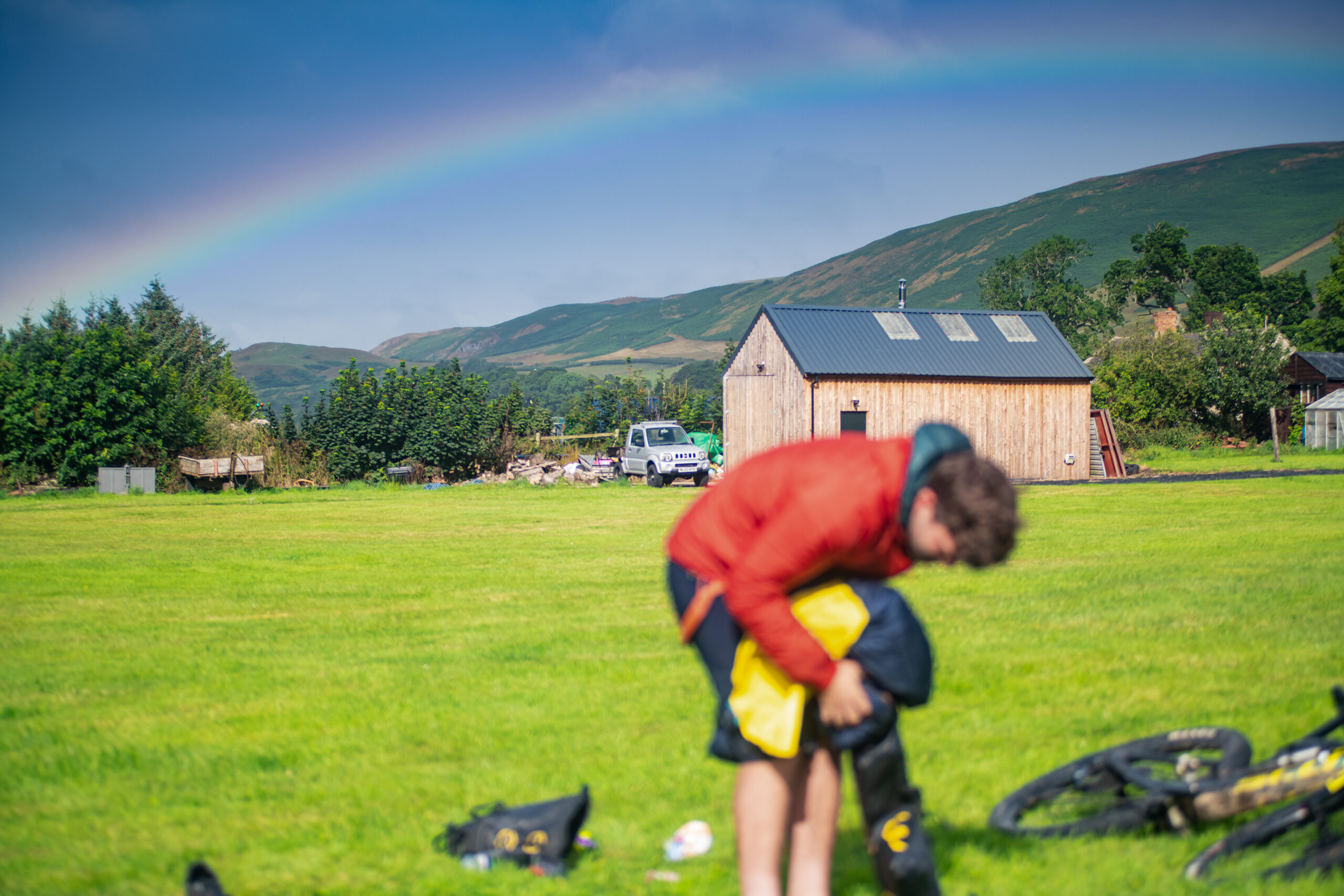
Signs along the road echo the WW1 training ground that we encountered earlier. The business-like urgency of the red triangles on the map show that this is an MOD artillery range. Danger, the signs warn. Do not touch any military debris, they advise. It may explode and kill you. None of us were planning to mess around with any military debris anyway. All we’re thinking about is food and cold beers. A three-mile spin along the road leads to the Rose & Thistle Inn in Alwinton. This is where we will spend the night, camping in a field behind the pub. Gareth, the landlord, has been expecting us, and he serves up the good, solid pub grub that I’ve been fantasising about for the last three hours or so. The first pint doesn’t touch the sides.
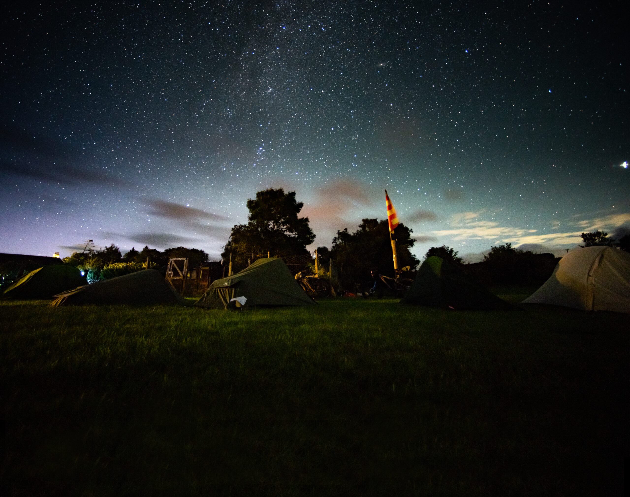
Northumberland is renowned for its dark skies. The lack of light pollution makes this area a favourite for stargazers, and above us, an explosion of countless stars and planets throw their light into the infinity of space like sugar spilt across a velvet cloth. We can’t see them, though, because it’s cloudy. Never mind.
A new dawn
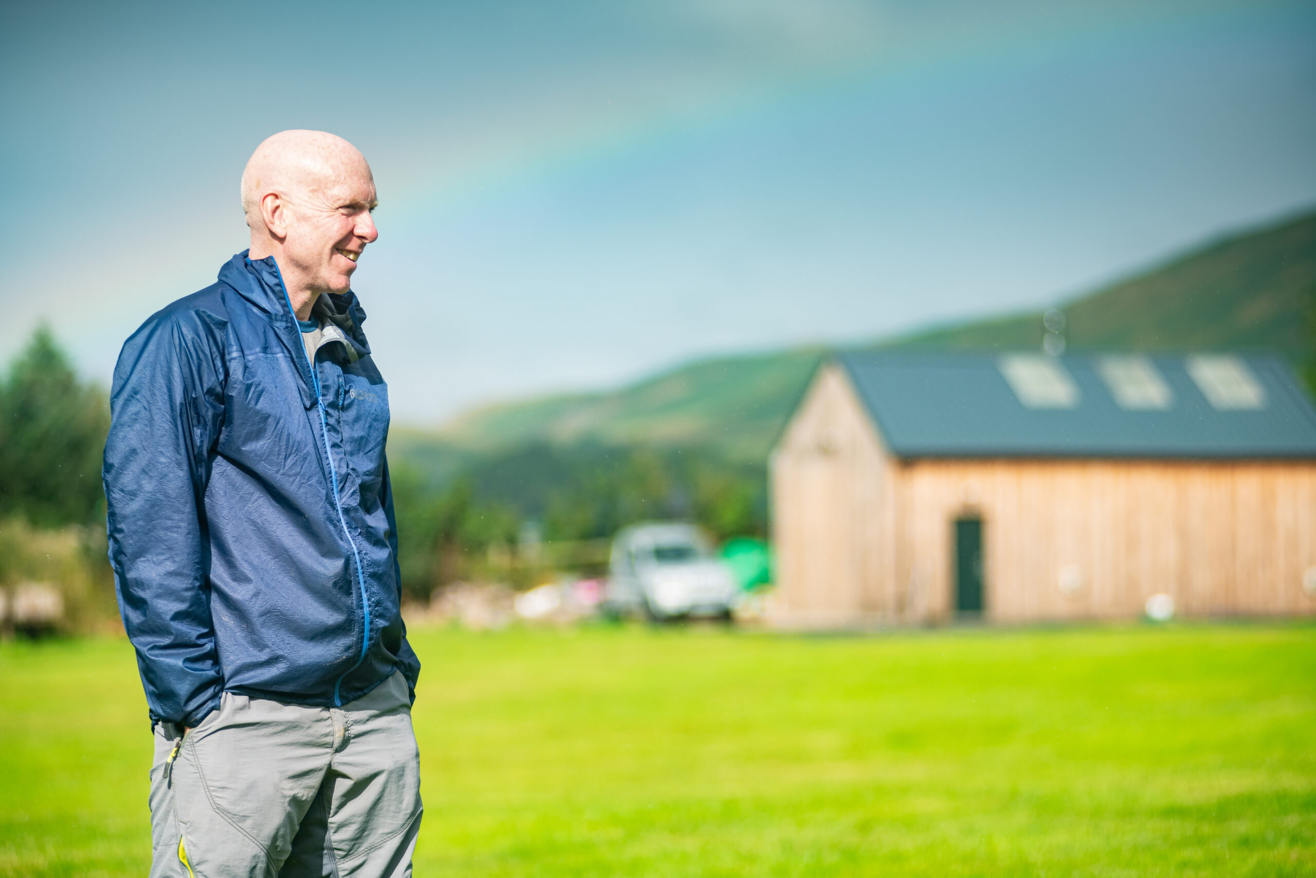
In the morning, we pack tents and bags in the drizzle and set off after a good pub breakfast. We enjoy a more relaxed start – our final destination is just 20 miles away. From Alwinton, the route takes us along good tracks and quiet roads to Hepple, a small settlement on the River Coquet, whose course we have been following since our final descent yesterday. We divert to a fine-looking house to be greeted by a tall man with kind eyes and a shock of unruly straw-coloured hair. This is Walter Riddell, owner of the 4,000 acre Hepple Whitefield estate and managing director of a small distillery, Hepple Spirits.


He’s something of a visionary. For many years, the estate has been used for game shooting, sheep and timber. This is the fate of most estates in this area. But some people argue that this is environmentally unsustainable and that these non-arable lands should be returned to a wilder state. They suggest doing so will reverse species extinction and will play a role in tackling climate change. This concept of rewilding is controversial, and many people whose livelihoods have depended on the traditional ways of farming adamant this is the responsible thing to do, and has removed sheep and instead introduced free-roaming highland cattle who trample and disturb the soil to allow a range of shrubs to emerge. It’s early days, but already we can see small trees growing on what had previously been close-cropped heather and species that had been absent from the estate are starting to flourish.
Juniper is one shrub that thrives in this area. Ever resourceful, Walter realised that he could use the juniper and other aromatic plants from the estate – Douglas fir, hawthorn and blackcurrant – to flavour gin and vodka. So he invested in the distillery, and now supplies a range of outlets with his products. He generously invites us to sample some. It’s only 11am, but as the saying goes, it’s 5pm somewhere. So we sniff, sip and enjoy before heading back to the trail.
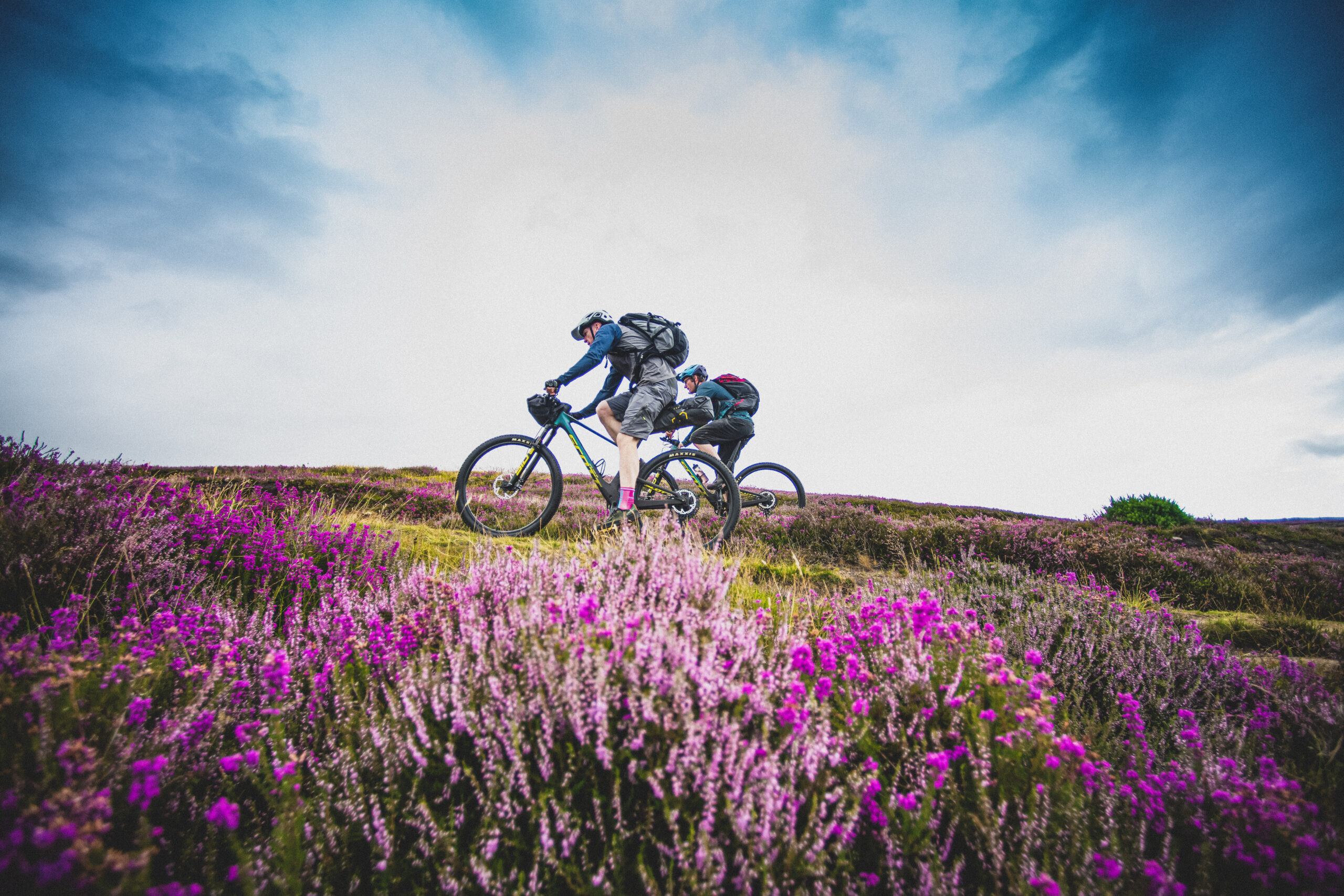
A two-mile climb on easy terrain with the wind on our backs carves through the purple heather to the Simonside Hills. Here, our photographer Pete Scullion tells us, malevolent dwarves are said to live, luring unsuspecting travellers to their doom. He’s written about this in issue 144. Pete seems to have an affinity with these short, hairy, mischievous creatures. I can’t imagine why.
The viewpoint at Simonside reveals much of our journey over the last two days, and Tommy points out the hills in the far distance that we’ve traversed. It’s satisfying to see how far we’ve come, and everyone is feeling relaxed and happy as we start our final descent back to Rothbury. Perhaps it’s the pre-lunch gin.

The ride has one final surprise to offer us, and we hear it before we see it: a low, ribcage-shaking thrum like an immense hornet trapped under a glass. Then, a fat grey military carrier aircraft flies along the valley below, level with our hillside vantage point. Pete, whose knowledge of military aircraft is surpassed only by his expertise in metal bands of the ’80s and ’90s, whips out his camera like a Wild West sharpshooter. Casting an expert eye through the viewfinder, he informs us that this is an Airbus A400M Atlas. Suitably impressed, we skim down the track to enter the backstreets of Rothbury, where our ride ends. Exhilarated, we find a café for a celebratory late lunch.
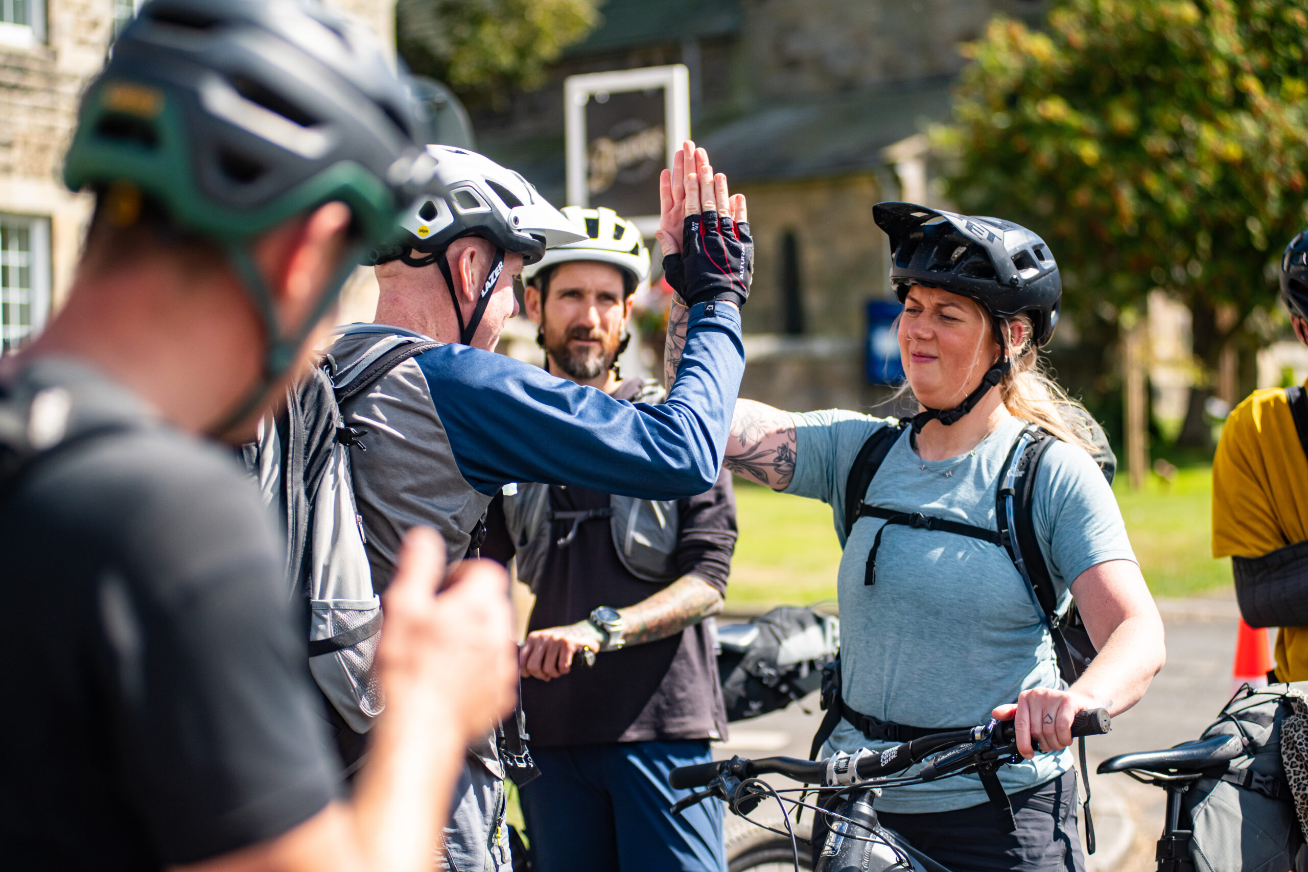
We sit outside in the sunshine by the village green, enjoying our lunch while cracking jokes and sharing how-about-that-time-when-you stories from the last two days. I glance around the table at my companions and reflect that just two days ago, we were strangers. But there’s something about sharing a bike ride that brings people together. I hadn’t met any of my companions before we rode together, but we parted as good friends. So: Amy, Chris, Davy, Kell, Mark, Pete, Rob and Tommy, thanks for your company. Here’s to next time.
We rode in August and, although we encountered a few sharp rain showers, the previous few weeks had been dry, leaving pleasantly firm riding surfaces. In wetter conditions, some of the tracks, especially on the southern section, could become much sloppier and tyre choice will be important. I rode a full-sus machine, and was grateful for the smoothness of the ride, but a hardtail would cope fine. Day one was long, but we had the luxury of long summer days. It might be sensible to break the ride earlier if you plan to ride in winter.
Northumberland is a magical place to ride. It isn’t as dramatic as the Lake District, but then nor is it as crowded. Its muscular hills and wide plains are a delight to ride, and its many hidden valleys and mix of singletrack and wider rocky trails are well worth exploring.
Tommy recommends an extra stop at Ingram, if you wanted to split the route into three sections. You can book out the village hall for £40 – there aren’t any beds, obviously, but it’s a decent alternative to camping. It would give you time to fish in the Breamish, apparently.
This route has been plotted and developed by komoot. To follow it and find out more about the route head to komoot.com/collection/1671225/-slymefoot-slide